We kindly invite, especially PhD students, to the workshop “R as a GIS tool” within Open Forest Data Spring School. Details below. It will be two-day remote workshop, May 5-6, 2022. The course will be held by: dr hab. Jakub Nowosad.
workshop format:
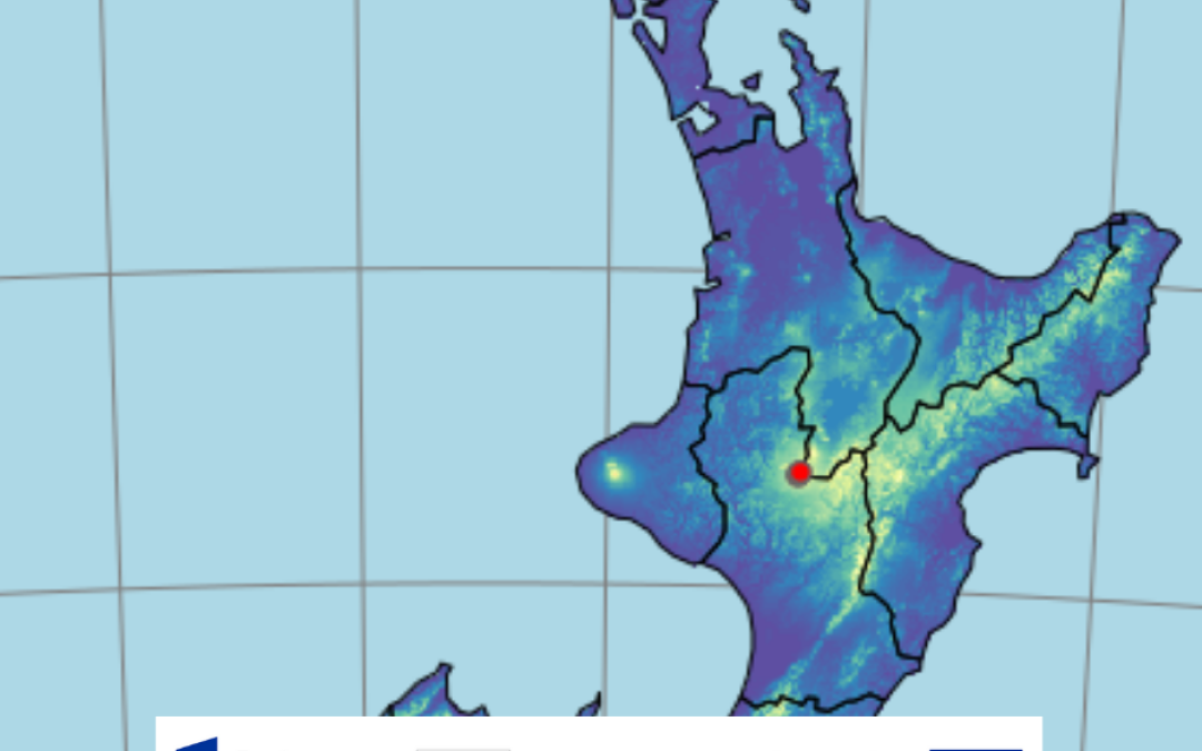
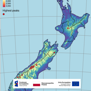
The aim of this workshop is to familiarize participants with the possibilities of processing, exploration and visualization of spatial data in R. The workshop will consist of lecture sessions, presenting basic concepts and ideas and demonstrating practical examples, and practice sessions, during which participants will be able to
verify and consolidate newly acquired knowledge.
R as a GIS tool – Open Forest Data Spring School
Two-day remote workshop, May 5-6, 2022
APPLICATIONS ONLY BY THE FORM: https://docs.google.com/forms/d/e/1FAIpQLSc_v_CvnrD7A3K_KE7o1dVi0YiUs-kR6nF-zbsXSeGaLiW8Yg/viewform
WORKSHOP FORMAT:
The aim of this workshop is to familiarize participants with the possibilities of processing, exploration and visualization of spatial data in R. The workshop will consist of lecture sessions, presenting basic concepts and ideas and demonstrating practical examples, and practice sessions, during which participants will be able to
verify and consolidate newly acquired knowledge.
PREREQUISITES:
The workshop is designed for intermediate to advanced R users interested in spatial data analysis and novice R users who already have experience working with spatial data.
TECHNICAL REQUIREMENTS:
Workshop participants should have current versions of R and RStudio installed. The R and RStudio programs
can be downloaded for free at the following links: http://www.r-project.org/ and https://www.rstudio.com/products/rstudio/download/. A complete list of packages and other prerequisites will be provided a few days
prior to the workshop.
CONTENT
Day One:
• Reading and representing spatial data in R
• Creating maps in R using the tmap package
• Processing spatial data attributes
• Processing vector data using the sf package
Day two:
• Processing raster data using the terra package
• Transforming coordinate reference systems
• Retrieving and exporting spatial data from within R
• Considering spatial autocorrelation in spatial data modeling